Australia’s view of the Indo-Pacific generally stops at Sri Lanka and the southern tip of India. But this regional conceptualisation leaves out the western region of the Indian Ocean. This may perhaps stem from a realist’s recognition of capability and capacity constraints – but equally, as the recent campaign of Houthi attacks in the Red Sea and the Gulf of Aden has demonstrated, security in the western Indian Ocean has an impact on Australia. The plight of stranded sheep and cattle that had been bound for export to the Middle East is only one obvious example.
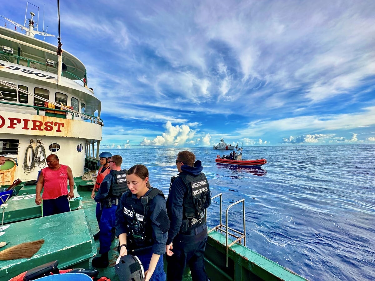
The maritime security challenges in the western Indian Ocean are diverse and complex. From the dramatic impact of illegal, unreported and unregulated fishing to the consequences of rising sea levels, maritime terrorism, and piracy. However, two common threads are evident – the need for enhanced maritime domain awareness, and the limited capabilities to respond to the threats when detected.
While Australia may have a capacity issue in engaging in maritime security in the western Indian Ocean region, there are options to leverage existing projects and relationships to improve maritime domain awareness.. The Quad has already set out an ambition for an Indo-Pacific Maritime Domain Awareness (IPMDA) project, which was announced at the 2022 leaders' meeting in Tokyo. This initiative provides a vehicle for greater Australian engagement in assisting with maritime security challenges in the western Indian Ocean.
The stated purpose of IPMDA is to create a “technology and training initiative to enhance maritime domain awareness in the Indo-Pacific region and to bring increased transparency to its critical waterways”. It amounts to sharing data as a public good. As the Quad traces its roots back to the provision of humanitarian and disaster relief support in the wake of the 2004 Indian Ocean Tsunami, IPMDA makes sense as an initiative for the grouping with the potential to assist maritime security in the region.
A risk to IPMDA is the seemingly limited progress of the project in the western Indian Ocean region, where it could make a real difference to maritime security. There has been limited official detail on the ambitious project to provide near real-time data in the maritime domain through what appears to be the resourcing of commercial arrangements through public-private partnerships.

At the last Quad leaders' meeting, on the sidelines of the 2023 G7 summit in Hiroshima, it was highlighted that IPMDA was in its initial phase, with pilots occurring in the Pacific, Southeast Asia and the Indian Ocean. The Quad partners have not officially released where the IPMDA pilots are occurring but it is likely to be in the Information Fusion Centre, Indian Ocean Region (IFC-IOR) in Gurugram India, the Singapore Information Fusion Centre, and alongside the Forum Fisheries Agency in Solomon Islands. It has not been rolled out to the western Indian Ocean, where there appears to be little awareness of the IPMDA project.
The initial focus of IPMDA is the delivery of satellite-based radio frequency data. This satellite capability allows for the detection and classification of ships by data emitted by radar or communications equipment. This additional data feed is particularly helpful in the detection of “dark shipping”, that is ships operating without the use of location transponders known as the Automatic identification System, or AIS. Monitoring radio frequency data is a technology that advanced militaries have commonly used, but one that has been off limits to smaller nations due to its cost. The ability to integrate this data into existing maritime monitoring systems such as the US-funded Seavision, which is commonly used in the western Indian Ocean, would prove a significant asset.
Australia’s Department of Foreign Affairs and Trade has awarded a contract to the company Hawkeye 360 to provide satellite radio frequency data and training to the Pacific Islands Forum Fisheries Agency. Australia’s investment has been further supported by a United States US$12.2 million contract to Hawkeye to provide further data analytics and training in the Pacific in Southeast Asia.
For the next phase of the project, Australia should support a roll out of IPMDA through the provision of radio frequency satellite data to the Regional Maritime Information Fusion Centre in Madagascar and the Regional Operations Coordination Centre in the Seychelles. This would significantly enhance the monitoring capacity in the western Indian Ocean region, which in turn enhances Australia’s maritime security as an Indian Ocean coastal state.

